Ari Atoll, Maldives
Date not retained
Sentinel-2 · 10m
ESA Copernicus Sentinel-2
Explore the imagery
Image provenance and limits
Single showcase image. Exact acquisition date was not retained in the website assets.
Imagery: ESA Copernicus Sentinel-2. USGS Landsat and Copernicus Sentinel.
The story / 3 chapters
01
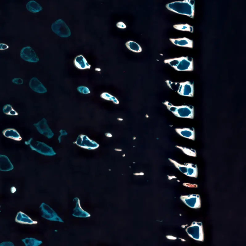
From 700 kilometers above, the Maldives look like brushstrokes of turquoise and white against the deep Indian Ocean. These coral atolls, barely rising above sea level, are among the most beautiful and most vulnerable places on Earth.
02
Sentinel-2's 10-meter resolution captures the intricate geometry of coral reefs, the gradient from shallow lagoon to deep ocean, and the tiny white slivers of sand that constitute entire islands. Some of these islands are home to thousands of people.
03
With a maximum elevation of just 2.4 meters, the Maldives face an existential threat from rising seas. These images may one day serve as a record of a geography that no longer exists.
Continue exploring
Earth as Art ↗