Urban Explosion / Dubai, UAE
From Desert to Megacity in 35 Years
25.1°N, 55.2°E · 1990–2025
Dubai, UAE
1990 to 2025
Landsat 5/7 + Sentinel-2 · 10-30m
USGS Landsat / ESA Copernicus Sentinel-2
Explore the imagery
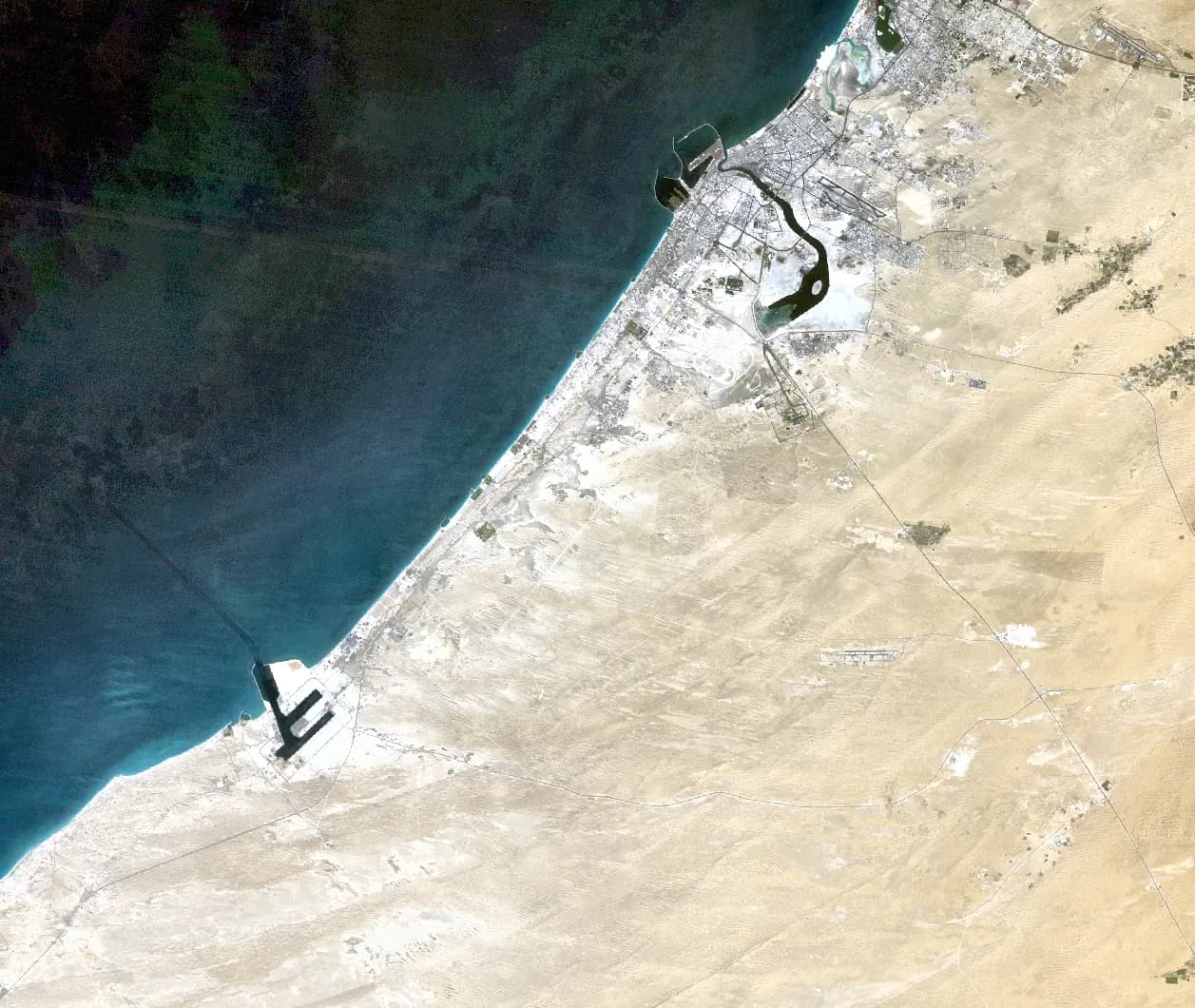 1990
1990Use the slider, arrow keys or step buttons. Press play for a five-frame sequence.
Image provenance and limits
Five dated website frames, 1990, 2000, 2010, 2020 and 2025, matched to OrbitalStory's Dubai engine output. Year labels are not exact acquisition dates. The 2010 frame has visible data gaps; these are imagery artifacts, not landscape changes.
Imagery: USGS Landsat / ESA Copernicus Sentinel-2. USGS Landsat and Copernicus Sentinel.
The story / 4 chapters
01
In 1990, Dubai's coastline was a thin strip of settlement along a flat desert shore. No Palm Jumeirah. No World Islands. No Marina skyline. Just sand meeting sea.
02
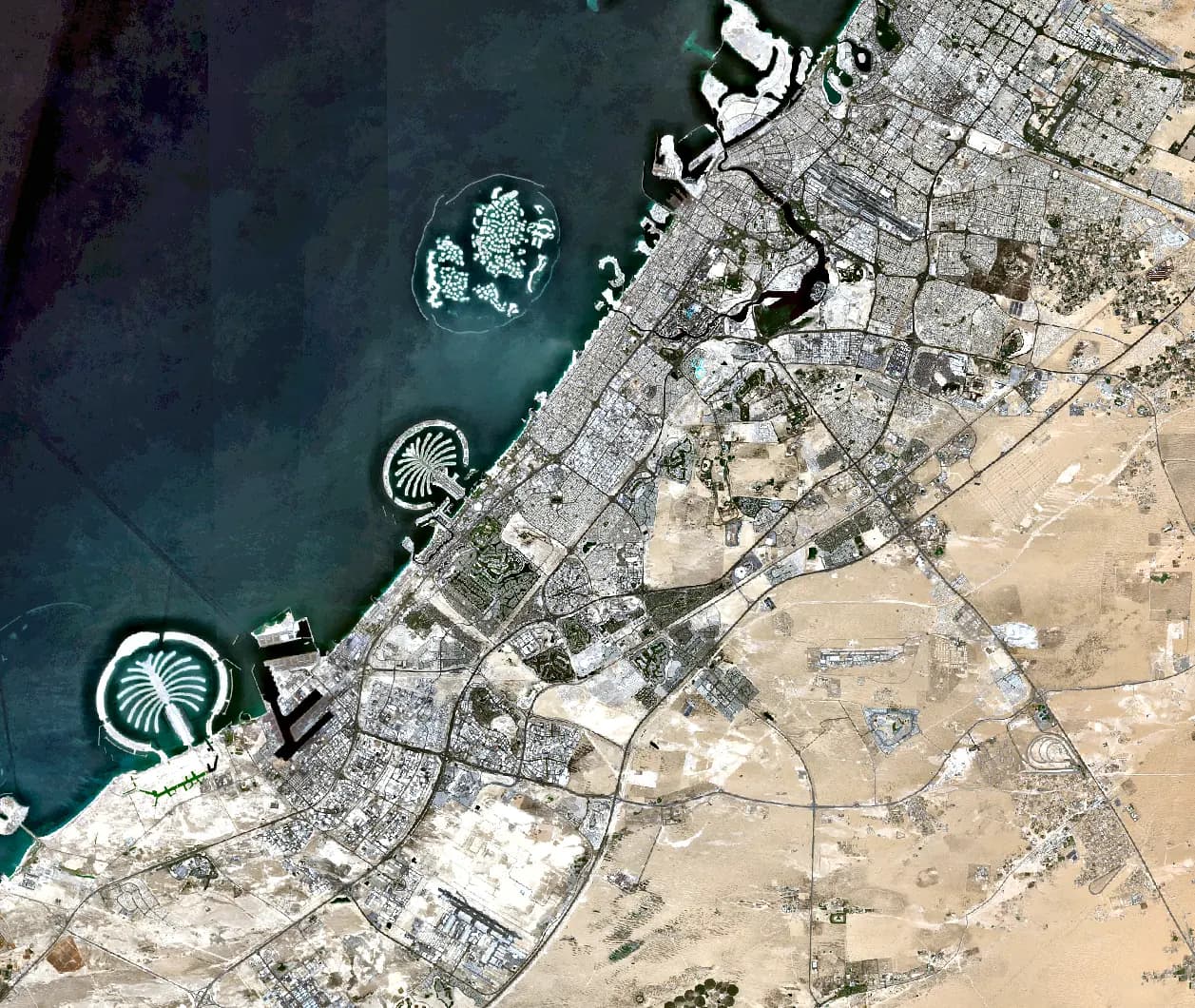
By 2000, early coastal development had begun, but the desert still dominated. Then came the transformation that rewrote geography itself. The Palm Jumeirah appeared, an artificial archipelago visible from orbit. The World Islands followed, 300 sand-and-rock islands arranged in the shape of a continent.
03
Between 2010 and 2025, the urban footprint exploded inland and along the coast. Dubai's population grew from 370,000 to 3.7 million. Satellite data from Landsat 5, Landsat 7, and Sentinel-2 captured every stage of this transformation at native resolution, from the first roads through empty desert to the megacity that now glows at night from space.
04
What makes Dubai's story unique is speed. Most cities take centuries to reach this scale. Dubai did it in a single generation.
Continue exploring
Urban Explosion ↗