Vanishing Water / Nevada/Arizona, USA
The Bathtub Ring
36.1°N, 114.4°W · Landsat 7 + Sentinel-2
Nevada/Arizona, USA
Date not retained
Landsat 7 + Sentinel-2 · 10-30m
USGS Landsat / ESA Copernicus Sentinel-2
Explore the imagery
Image provenance and limits
Single showcase image. A verified, aligned temporal pair is not available in the website assets.
Imagery: USGS Landsat / ESA Copernicus Sentinel-2. USGS Landsat and Copernicus Sentinel.
The story / 3 chapters
01
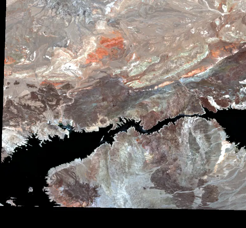
Lake Mead, the largest reservoir in the United States, has become a barometer for the American West's water crisis. The white bathtub ring visible from space marks the mineral deposits left behind as water levels dropped over two decades of megadrought.
02
At its lowest point in 2022, the reservoir fell to just 27% capacity, revealing geological formations that had been submerged since the Hoover Dam was completed in 1936. Satellite imagery captures the stark contrast between the deep blue of remaining water and the bleached shoreline.
03
The Colorado River, which feeds Lake Mead, supplies water to 40 million people across seven states and Mexico. What satellite data shows here is not just a shrinking lake but a slow-motion crisis affecting one of the most populated regions on the continent.
Continue exploring
Vanishing Water ↗